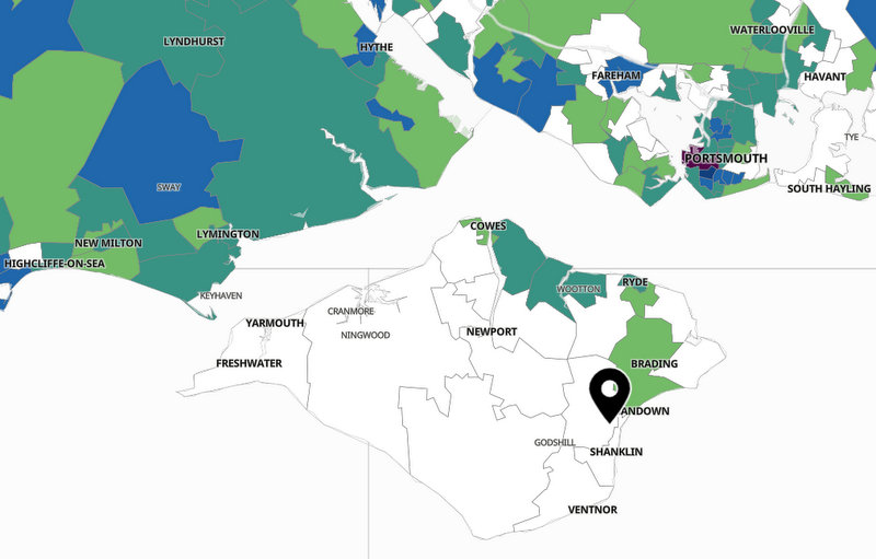
An interactive map shows where cases of coronavirus have been reported on the Isle of Wight - and across the UK - recently.
People can search using a postcode which then shows the number of people who have tested positive in the 7-day period, ending October 14.
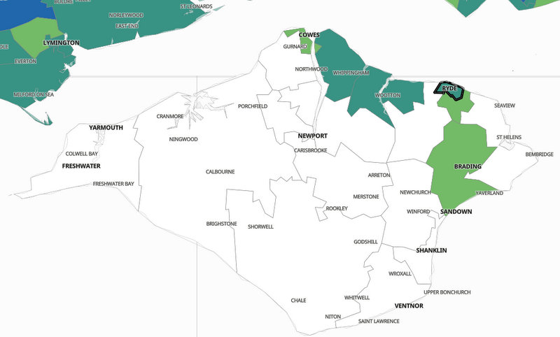
The Government map shows recorded cases in:
- Cowes Central - 6
- East Cowes and Osborne - 6
- Binstead and Wootton - 6
- Ryde Central - 4
- Ryde South - 3
- Sandown and Brading - 3
All the areas are classed as below the national average.
The map only shows areas where more than three cases have been recorded in a 7-day period.
You can find the map here - https://coronavirus-staging.data.gov.uk/details/interactive-map

 Five-Year Isle Of Wight Area Of Outstanding Natural Beauty Plan Unanimously Approved
 More Islanders Cross The Solent With Wightlink’s Discounted Fares For NHS Appointments
 Hampshire And Isle Of Wight Air Ambulance Funds Defibrillators For The Community
 Isle Of Wight Council Budget Pressures Likely To Continue Following Autumn Statement
 Council Approves Support Package To Help Islanders On Low Incomes
 Isle Of Wight Councillor In Mental Health Priority Motion
 Bird Keepers Urged To Remain Vigilant Following Increased Avian Influenza Risk
 Island Pupils Receive Lesson In Road Safety That Could Save Lives
 New Shanklin Flats Given Green Light
 Joe Robertson Appointed Parliamentary Private Secretary For Shadow Culture, Media And Sport
 Shanklin Company Making Nuclear Waste Sorting Safer, Greener And Cheaper
 Five-Year Isle Of Wight Landscape Plan Decision On Horizon
 Help Sought For Isle Of Wight's Struggling Small Businesses
 Primary School Admissions For September 2025 Now Open
 Island Families Invited To Take Tour Of St Mary's Special Care Baby Unit
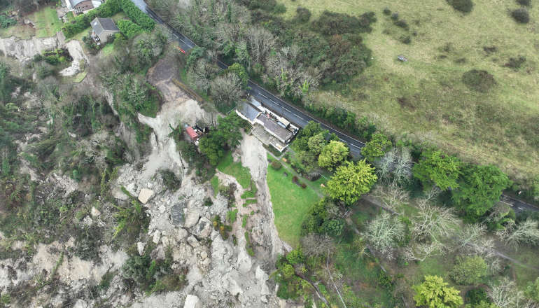 Work To Sink Three Boreholes At Leeson Road Due To Finish This Week
 Emergency Works Underway To Repair Shanklin Culvert And Prevent Flooding
 New Strategy For Tree Care On Isle Of Wight
 Public Spaces Protection Orders To Be Reinstated Across The Island
 Who Is Your Island Tourism Hero? Red Funnel's Isle Of Wight Award Nominations Open For 2025


