
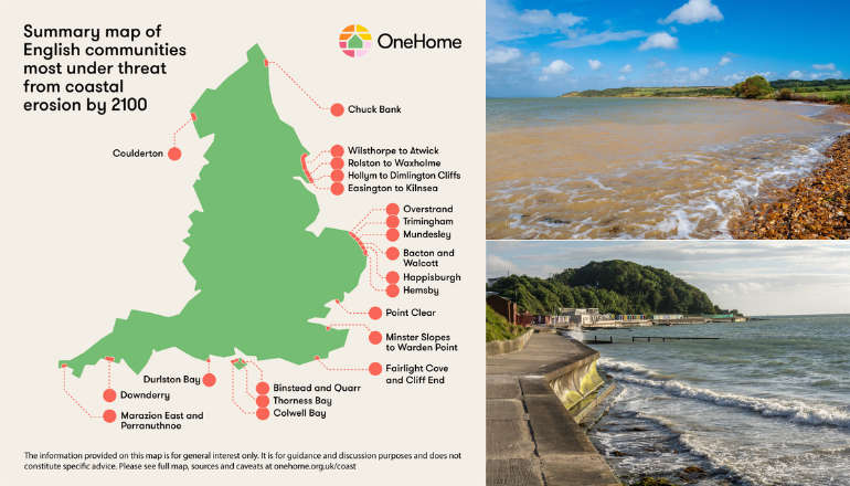
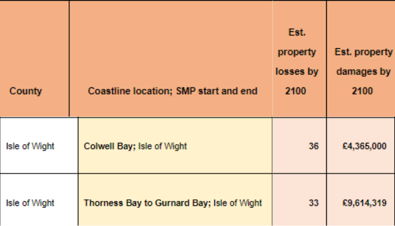
Isle of Wight locations have been named among the UK areas which will be worst hit by coastal erosion this century.
A new interactive map — using research compiled by climate change specialists One Home — shows coastlines around Colwell Bay, Thorness Bay to Gurnard Bay and Binstead and Quarr as some of the worst affected.
Collectively, its estimated the Island areas will lose 92 homes worth more than £21 million.
One Home’s England’s Communities Under Threat Interactive Map is the most accurate and up-to-date look at the state of our disappearing cliffs and the threat coastal erosion poses to our most at-risk seaside villages and hamlets.
It illustrates where no new sea defences will be built to defend against erosion, meaning homes will be lost to the sea.
In some cases, homeowners could be asked to pay thousands of pounds towards the cost of demolishing their homes, while potentially still paying a mortgage.
Demolition grants of up to £6,000 are available from authorities, but costs above this must be met by the owner.
One Home Chief Executive Angela Terry said:
“Sea levels are rising as global temperatures soar and so larger waves batter our coast during severe storms.
"These irreversible changes mean some cliff faces are crumbling fast.
“We can’t turn the tide or build a wall around the entire coast so we urgently need to help seaside communities to prepare for the damage that will come."
 Ventnor Woman Charged With Firearm Offence
 "A clear Potential That Harm Has Been Caused" - Major Housing Development "Invalidated"
 Former Public Toilets Conversion Scheme Withdrawn After Wroxall Parish Council Backlash
 Former Trade Union Leader Appointed By Island's MPs To Look At Ferries
 Hampshire And Isle Of Wight Police And Crime Commissioner Announces Intention To Stand For Mayor
 Two-Bedroom Apartment Could Be Installed Behind New Laundrette
 Isle Of Wight Pupils Set Sail To Compete Against Hampshire’s Top Young Athletes
 Still Time For Island Good Causes To Apply For Foundation Funding
 Three Arrested Following Reports Of Woman In Possession Of Firearm In Ventnor
 Isle Of Wight Donkey Sanctuary Welcomes 12 New Animals To Its Herd
 Introduction Of Second Homes Premium – What You Need To Know
 Large Villa-Style Property Could House Four New 'Starter Homes' In Totland
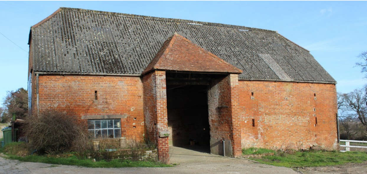 Dutch Braai Restaurant And Weddings Venue: New Plans Revealed For Disused Barns
 Wave Of Acts Announced For Isle Of Wight Festival 2025
 Discontent With Island Health And Social Care Services On The Rise Again — Report
 Investigation Underway Following Death Of 28 Year-Old Man In Ryde
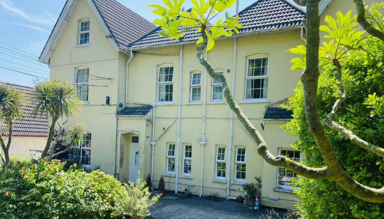 Former Ventnor Care Home Could Be Turned Into 'High Quality Housing'
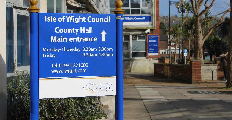 Isle Of Wight Council Fighting To Maintain Status Quo In Face Of Local Government Reorganisation Plans
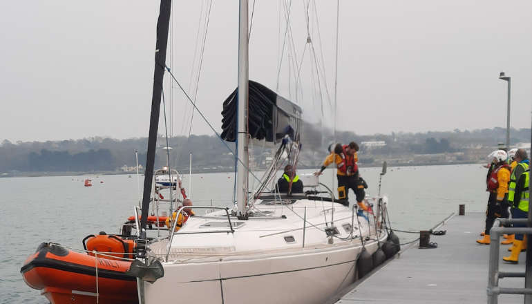 Cowes Lifeboat Team Saves The Day With Rescue Of Crippled Yacht
 Historic Shanklin Summerhouse To Be Converted Despite Local Opposition