

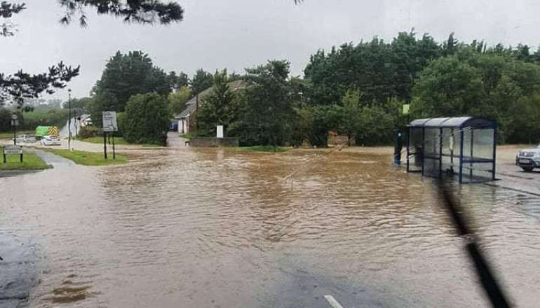
Official reports examining the severe flooding that affected Newport, East Cowes and Ryde last autumn are now available to read online.
Roads, homes and businesses were submerged on the Island as a result of Storm Babet and Storm Ciaran in October and November 2023.
At least 317 properties experienced flooding during unprecedented rainfall.
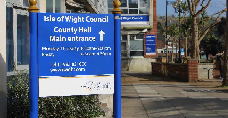
In response, the Isle of Wight Council commissioned a series of independent investigations to better understand the causes and any factors that may have influenced the severity of the flooding.
The in-depth studies, known as 'Section 19 flood investigation reports', involved collecting information from those directly affected by the flooding, as well as private bodies with flood management responsibilities.
Three reports have been published today (Wednesday) on the council's website.
A further Section 19 report for Brading and an addendum for Binstead will be published next month with a report for Cowes to follow later in 2024.
The council will now consider all the recommendations, taking into account how many can be delivered and in what timescales given the resource and cost implications.
Some actions will require the council to work closely with key stakeholders and landowners, including Island Roads, the Environment Agency and Southern Water.
Developing a Community Flood Plan and investigating opportunities for Sustainable Drainage Systems (SuDS) to manage storm water are among eight recommendations proposed for Newport.
At least 56 properties suffered internal flooding in the county town with Gunville being one of the worst affected areas.
In addition to improved flood maps and enhanced monitoring, the report recommends carrying out an investigation into the condition and capacity of the culvert under Arthur Moody Close and watercourse at Ash Lane.
Seven recommendations have been put forward for East Cowes including establishing a flood action group and developing a Community Flood Plan.
Other priorities include replacing or improving the existing tidal outfall and carrying out feasibility studies in providing extra surface water drainage capacity and increasing the capacity of the watercourse at Church Path.
Improved gully and highway drainage maintenance is also being recommended.
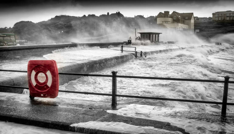
The latest Monktonmead report is an addendum to a previous Section 19 report published following flooding in 2021.
At least 107 properties were flooded during Storm Babet — estimated to have been a one in 144 and and one in 190 year event.
The report considers the incident response as well as the actions undertaken following the 2021 and 2023 floods and makes a number of recommendations around property flood resilience, surface water drainage, surface water management and community flood preparedness.
It also notes the detailed review currently being undertaken by the Environment Agency into the causes of the flooding last October and the operation of the Monktonmead Flood Alleviation Scheme.
Councillor Karen Lucioni, Cabinet member for community protection, said:
"It was essential that we took action to properly look into the causes and impacts of the flooding that occurred last year. Many residents were adversely affected and much distress and damage to properties resulted.
"I would like to thank everyone who contributed to this work as their input has proved invaluable as we now look to take forward potential options to take preventative steps and to mitigate the risk of similar flooding occurring in the future.
"I would also like to thank residents for their patience while these reports have been prepared."
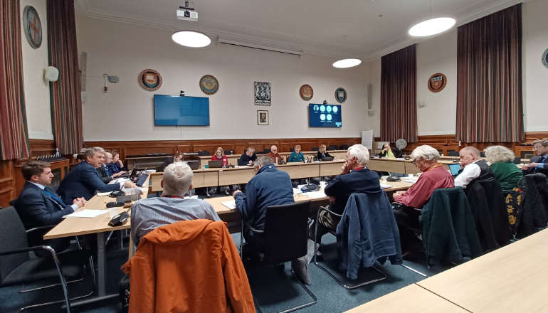
 Full Council To Debate Devolution And Potential Election Delay Amid Tight Government Deadlines
 Newport's Isorropia Foundation To Complete Purchase Of Medina Valley Centre Following £1m Award
 Memorial Held Following Death Of Kezi's Kindness Founder Nikki Flux-Edmonds
 Call To Return NHS And Social Care Equipment That Is No Longer Needed
 Severe Gales And Heavy Rain Forecast For New Year's Day On Isle Of Wight
 Another Blow For Newport Nightlife As Wyld Closure Announced
 Emergency Services Called To Shanklin Following Christmas Day Death Of Elderly Woman
 Isle Of Wight Actor Acclaimed For Highlighting Issues Around Autism
 Mountbatten Inviting Islanders To Sign Up For 2026 Lapland Husky Trail
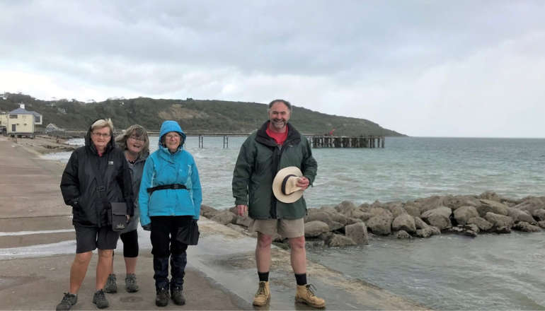 Popular Totland Bay Seawall Footpath Reopens
 Salvation Army Receives Festive Boost Thanks To December Donation From Southern Vectis
 Isle Of Wight Council Supporting ‘Hoodies For Homeless’ Campaign
 Man In 20s 'Under Investigation' Following Drink-Drive Arrest
 Big Give 2024 Sees Huge Donation For Isle Of Wight Charity
 Highways Improvement Work Continues In The New Year
 Controversial Freshwater Housing Proposal Turned Down
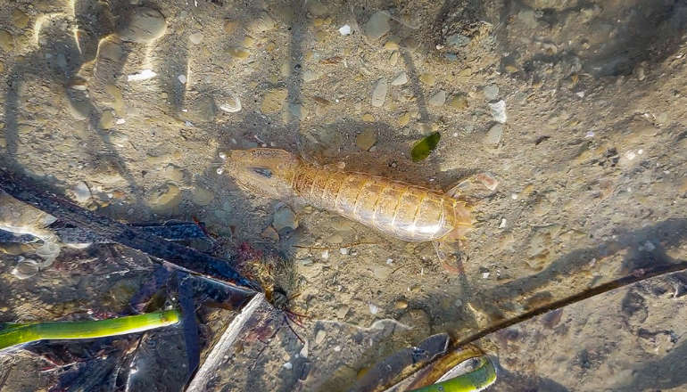 Rare Mantis Shrimp Discovery Made In Waters Off Isle Of Wight
 Pedestrian In Hospital With Serious Injuries Following Early Morning Motorcycle Crash
 Cowes Stately Home To Have Facilities Upgraded As Part Of Approved Renovation