A number of flood warnings have been issued for the Isle of Wight this weekend.
Last updated 12.54pm Sunday October 29
Flooding is expected for:
Gurnard Pines to Marsh Road at Gurnard from the Gurnard Luck.
Coastal areas at Yarmouth
Carisbrooke, Hunny Hill and Newport Quay Arts Centre on the Lukely Brook.
Lukely Brook from Carisbrooke to Newport.
Simeon Street Recreation Ground, Ryde
Yellow Weather Warning
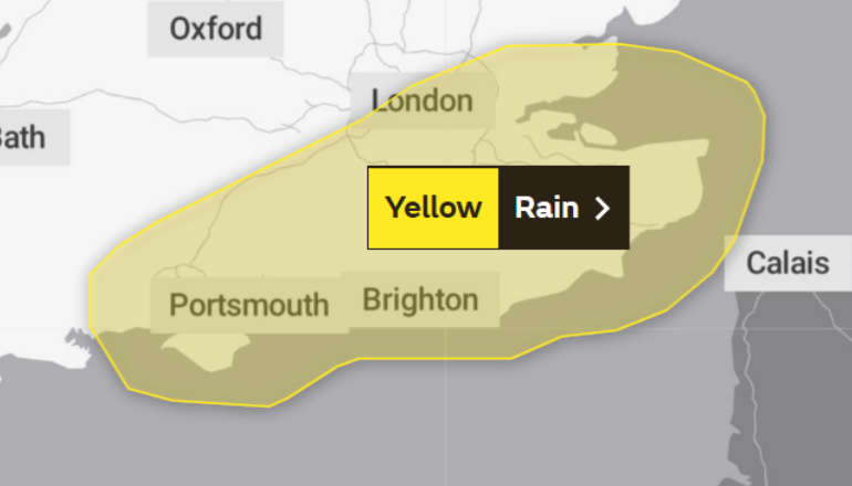
A yellow weather warning for rain has also been issued for the Island.
It will be in effect between midnight until 6am Monday.
The environment agency has stated:
- There is a small chance that homes and businesses could be flooded, causing damage to some buildings
- Where flooding occurs, there is a slight chance of delays or cancellations to train and bus services
- Spray and flooding could lead to difficult driving conditions and some road closures
- There is a slight chance of power cuts and loss of other services to some homes and businesses
- There is a small chance that some communities will become cut off by flooded roads
Council Flood Hubs
The Isle of Wight Council has opened two information hubs today with local authority staff in attendance:
- Gunville, Newport - to support nearby residents in Alvington Manor Road and nearby streets. The location is Ambassador Snooker Hall, 125 Gunville Road, Newport PO30 5LE
- East Cowes - at East Cowes Library, East Side Curve, York Ave, East Cowes PO32 6RU
Floating Bridge latest
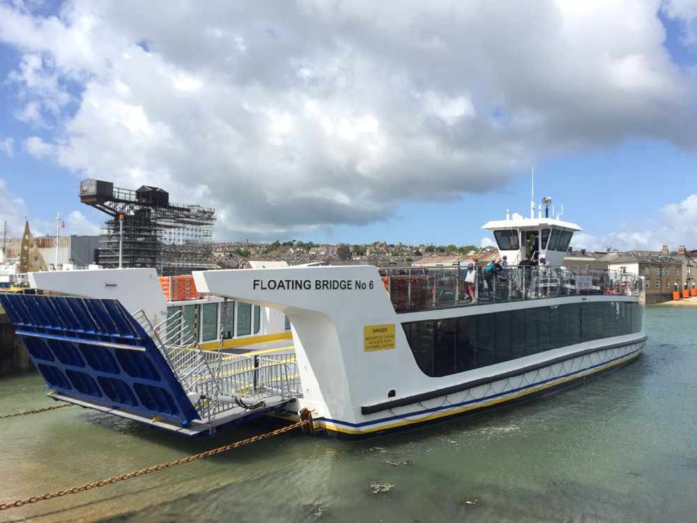
Access to the floating bridge may be curtailed over the next two nights due to higher-than-normal tides.
For a short time vehicles may and foot passengers may not be able to cross - pedestrians will have limited visibility at very high water times.
If you are having a night out that involves a Floating Bridge crossing please be aware we may not be able to take you during the following times:
- Sunday 29/10/2023 - 22:30 to 00:00
- Monday 30/10/2023 - 23:00 to End of service
UPDATE 3.20pm
Road closure updates have been confirmed:
- Briddlesford Road closure now in place. Please avoid the area and find alternative routes.
- Brocks Copse Road Wootton now open after tree has been cleared from the carriageway
- Flood warning signs are out at Havenstreet (by the railway bridge), Middle Rd (Newport to Calbourne) and Forest Rd (Newport to Shalfleet). This means they are passable with care in most vehicles but please use other routes if possible.
Council Flood Response update: 6.30pm
Following further weather warnings and rainfall , Isle of Wight Council’s emergency planning and flood response teams have today been in place at Newport and East Cowes.
Local authority staff have been providing help, guidance and information at two temporary hubs today at East Cowes Library and Ambassadors Snooker Hall. Gunville (Newport).
Whilst the hubs have now stood down for today, help and guidance is available via the Isle of Wight Contact Centre until midnight on 01983 823111. Overnight, the council can be contacted on 01983 821105. In an emergency call 999.
There is ongoing monitoring of the weather and flooding situation and updates will be issued via Social Media.
Guidance is also available on https://www.iow.gov.uk/keep-
Speaking early today, Isle of Wight Council leader, Councillor Phil Jordan said:
“I want to thank the large numbers of voluntary groups, community groups and individuals that have come out from their own homes to help and assist in the flooded areas. They are bringing practical help and support where they can and continue to give those badly affected added intervention and practical assistance in their actions.
"I am hearing of some extraordinary examples of community spirit during this flooding, and I am humbled and indebted to those who have given their time and help so freely.
"I know that Island Roads are continuing to try to keep gulley’s clear from the drain network and have teams out constantly carrying out cleaning as well as replenishing sandbags.”
"Island Roads have had a busy night dealing with multiple road closures and helping around the clock with emergencies using gulley tankers, road sweepers, dealing with fallen trees and providing additional sandbags in affected areas.
"Flood boards have been used at:
- Havenstreet By railway bridge
- Middle Road Newport to Calbourne
- Forest Road Newport to Shalfleet
“I would want to re-assure those affected that we are doing all we can to co-ordinate responses from the relevant organisations such as the Environment Agency and Southern Water and delivering the Highways element of road safety and gully cleaning through Island Roads”.
"Updates will be published during the day, this will include the council’s social media pages. For road closure details please follow Island Roads Twitter page and local media.
"Residents are asked to be considerate in built up areas when driving through surface water to avoid flooding nearby properties. "

 Appeal For Information Relating To Man Following Women And Girls In Ryde
 Brading BMW Stop Sees Five Arrested After Drugs And Weapons Seized
 Isle Of Wight To Receive Its First Banking Hub
 Isle Of Wight’s Newest Intake Of Female Bus Drivers Set To Take To The Roads
 Ryde's Leo Leisure Releases CCTV Images Following Theft
 Two New Houses Could Be Built In Island Seaside Village
 Twenty-Seven Houses Could Be Built Next To Isle Of Wight Village
 Council Set To Hold Extraordinary Full Meeting To Discuss Potential School Closures
 "There's Going To Be An Accident" — Town Residents Warn Council Of Dangerous Driving
 Isle Of Wight Council Backing New Strategy Aiming To Tackle Local Poverty
 Bitter Dispute Continues To Disrupt Isle Of Wight Parish Council
 Petition Protesting Possible Island Elections Cancellation Gathers Hundreds Of Signatures
 Vacant Island Hotel Laid Waste To By Fire Could Be Replaced By Flats
 Arrest Made And Witnesses Sought Following E-Bike Collision In Ryde
 Southern Water Reveals Plans To Reduce Storm Overflows On Isle Of Wight
 Red Funnel Confirms Annual Maintenance Works And Temporary Hi-Speed
 New Isle Of Wight Energy Facility Aims To Transform Waste Into Energy For A Sustainable Future
 Footprint Trust Seeks New Trustees To Support Isle Of Wight Residents
 Freshwater Housing Proposal Sparks Controversy


